
Abstract: Recent advances in sensor technologies has enabled wide-scale availability of high-quality imaging data (including multispectral and hyperspectral imagery) in support of earth science applications. Despite these advances, such modalities present unique challenges for effective analysis of the imagery in support of downstream tasks, including distribution shifts between training and deployment conditions, the need for learning effectively over multiple scales and across different sensors, the paucity of high-quality ground-reference data, among others. In this talk, I will cover recent advances in GeoAI that can facilitate image analysis of earth observations at scale in support of earth science. I will discuss developments in generative knowledge transfer, self-supervised learning, emerging foundation models and strategies to exploit these developments for effectively leveraging large-scale earth observation data.
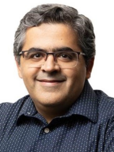
Biography: Prof. Saurabh Prasad (Senior Member, IEEE) received his Ph.D. in electrical and computer engineering from Mississippi State University, MS, USA, in 2008. He is currently a Full Professor with the Department of Electrical and Computer Engineering, University of Houston, Houston, TX, USA, where he directs the Machine Learning and Signal Processing Laboratory. His lab focuses on advancing state-of-the-art in machine learning and signal processing with applications to remote sensing and biomedicine. His work has been recognized by two student research awards during his Ph.D. study, a best student paper award at the 2008 IGARSS conference, top-10% papers at IEEE-ICIP conference, a NASA New Investigator (Early Career) award in 2014, and the junior faculty research excellence award at the University of Houston in 2017. He has served on the editorial board of the IEEE Transactions on Geoscience and Remote Sensing and the IEEE Signal Processing Letters. He is currently an IEEE GRSS Distinguished Lecturer.

Abstract: There are global economic challenges are facing the world, Egypt among the north Africa region faces complex environmental and developmental challenges population growth, unemployment, water stress, rapid urbanization, climate change, etc. that require innovative solutions based on knowledge and information. Egypt vision 2030 is to be one of the top 30 countries in the globe. NARSS is the pioneer remote sensing institute that is playing critical role to use the advancements in remote sensing technologies to offer the government with powerful tool for various environmental, industrial and economic development. This is based on AI, high resolution satellite data, various sensing sensors, in-situ measurements and modelling. Such integrated mechanism, enabled to provide solution to specific problems and contribute to the industrial development. For Example, these tools enabled to map, quantify and analyse the critical mineral resources for industrial development with example on calcium carbonate that are suitable for wide range of industry including pharmaceutical, paints, paper, rubber and cement. It is extended to strontium oxide that is an essential element for making phosphors since it acts as a host matrix for luminescent materials. Moreover, NARSS contributed to the extension of agriculture land to fill in the gap of the food security; this includes studying the soil properties, the climatic conditions, ground water availability and the crop suitability. This enabled to provide information for nearly 2 Million acres for new agriculture development. In addition to the smart agriculture and farm management using smart sensors. In the area of climate changes and its implications, NARSS produced an interactive atlas for the coastal zone of Egypt as well as biodiversity conservation. NARSS has also simulated the climate change scenarios over Africa Continent as one of the most affected continent of climate changes. This paper presents wide range of applications that significantly contributed in achieving the sustainable development goals and Egypt vision for social and economic growth.
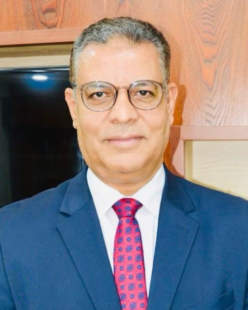
Biography: Prof. Dr. Islam Abou El-Magd is currently the President of the National Authority for Remote Sensing and Space Sciences, Egypt. He is also acting the Counsellor for the Minister of Higher Education and Scientific Research for Space Technology and African Affairs. He is the former Deputy CEO of the Egyptian Space Agency and the former Vice-President of the National Authority for Remote Sensing and Space Sciences.
Prof. Abou El-Magd has obtained his PhD from the School of Civil Engineering and The Environment, University of Southampton, UK, where he also worked for more than 5 years, spending a total of 10 years in the UK.
Prof. Abou El-Magd is heavily involved in many international and national committees that contribute to society in policy, technology and applications. He served as Chair of the working group that prepared the Egypt file for hosting the African Space Agency. He was a Member of the Space Working Group that developed the African space policy and strategy. He was also Chair of the Committee assembled by the Prime Minister to restructure and organize the Egyptian Space Program for the Egyptian Space Agency to implement it.
He served as Co-Chair of the Implementation Plan Working Group that developed the 2016-2025 strategic implementation plan for GEO (Group on Earth Observation). He is a Member of the High-Level Policy Dialogue for EU-AU partnership in science, technology and innovation, and a Member of the STC-EST Bureau for the African Union Commission. He also served as Vice President for African Association of Remote Sensing and Environment.
Prof. Islam Abou El-Magd published nearly 100 papers in international and national peer-reviewed journals and conference proceedings and supervised nearly 30 MScs and PhDs students. He was awarded many projects funded from EC, NSF, WB, AUC, STDF for earth observation and geoinformatics for sustainable development and environmental related issues.
Prof. Abou El-Magd was appointed to several leadership positions, including the Vice-President of the Egyptian Space Agency as well as Vice-President of the National Authority for Remote Sensing and Space Sciences.

Abstract: This presentation will explore the current trends in Geoinformation collection, management and applications from the perspective of a National Mapping Agency, with a particular emphasis on innovation. We will first highlight the growing need for higher-frequency Very High Resolution (VHR) data to monitor the rapid changes occurring across our countries and landscapes, driven by climate change and human activity. Following this, we will introduce the evolution of data collection programs at IGN, which are increasingly adopting a multi-source approach.
Next, we will present an innovative and agile processing workflow designed to produce VHR Land Use/Land Cover (LULC) data at a ground resolution of 20 cm. By leveraging deep learning and large-scale learning samples, this workflow enables the monitoring of landscape evolution every two years to assess compliance with France's "Zero Net Artificialisation" law.
We will then demonstrate how LULC data, combined with point clouds and watertight meshes computed across France, will form the core data of the French Digital Twin. This initiative aims to create a platform that serves as both a hub for science and innovation and assembles and integrates geodata, geoprocessing and geovisualization tools, simulation algorithms, and computing capacities. The goal of this National scale twin is to facilitate complex decision-making and support the design, monitoring, and evaluation of public policies, particularly in the field of ecological transition.
Beyond the Digital Twin initiative, this presentation will also highlight the importance of building GeoInformation Technological Commons. By doing so, we could/can better structure our community's technological developments to collectively address the significant challenges that lie ahead.
Biography: Prof. Nicolas Paparoditis is currently Deputy General Director of IGN-France, the French mapping and forest information agency. He is a Senior Research Professor and Technologist. He was previously Director of Research and Higher Education at IGN-France, head of the Ecole Nationale des Sciences Geographiques (Geodata-Paris), the French engineering school of Geoinformation, and Vice-President of University Gustave Eiffel. Before that he chaired the MATIS remote sensing and 3D image processing laboratory of IGN. He started his career in 1992 in the industry working for Aerospatiale, on 3D mapping from VHR satellite images. He has also been the Officer in charge of the programme "Digital Models/Twins" at ANR, the French National Research Agency, in the early 2010's. Nicolas Paparoditis is an international expert of remote sensing, photogrammetric computer vision, and computer graphics for 3D geodata collection systems and their application to smart cities and more globally to public policies. He has supervised 20 PhDs and has published over hundred and fifty papers peer-reviewed papers in the field of remote sensing, photogrammetry, and spatial information sciences mostly published in ISPRS journals and proceedings. He has also led several large national research and innovation projects around the development of technologies for 3D geodata collection, geovisualisation, digital globes and digital twins. Nicolas Paparoditis has also been involved in scientific societies. He has recently been the Chair of the XXIV ISPRS congress director (2016-2022). He is currently Vice-President of ISPRS (2022-2026) and Vice-President of EuroGeographics.

Abstract: Unmanned Aerial Vehicles (UAVs) are increasingly transforming agricultural practices by providing high resolution, timely data for crop monitoring and management. Equipped with multispectral and thermal sensors, drones enable farmers and researchers to assess plant health, detect stress, optimize irrigation, and identify soil variability. By integrating UAV imagery with advanced analytics and machine learning, precision agriculture becomes more efficient and sustainable, supporting yield forecasting and resource optimization. This study highlights key applications of UAVs in crop science, including disease detection, nutrient management, and mapping of field heterogeneity. While challenges remain-such as regulatory restrictions, operational costs, and the need for expertise in data processing-the potential of UAVs to address climate variability and food security is significant. The findings emphasize UAVs as a scalable and innovative tool for advancing precision agriculture and ensuring sustainable farming practices. In this presentation, Prof. Saeid Homayouni will give an introduction to the application, the concepts behind it, practical insights, and, finally, several case studies.
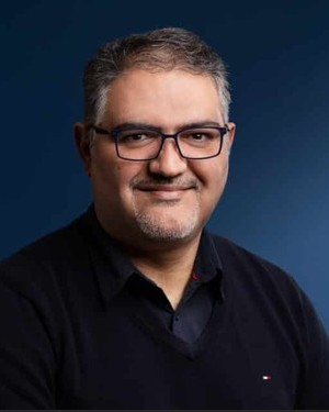
Biography: Prof. Saeid Homayouni is a full professor of environmental remote sensing and geomatics at the Centre for Water, Land, and Environment at the Institut de la Recherche Scientifique (INRS) in Quebec, Canada. He holds a B.S. in Surveying and Geomatics Engineering, an M.Sc. in Remote Sensing and GIS, and a Ph.D. in Signal and Image Processing (specializing in Hyperspectral Remote Sensing) from Telecom Paris, France. He leads the Group on Earth Observation Analytics by Artificial Intelligence (GEO-AI) at INRS. His research primarily focuses on analyzing Big Earth observation data using advanced machine learning and artificial intelligence techniques in urban and agro-environmental contexts. Additionally, he serves as president of the Quebec Chapter of the IEEE Geoscience and Remote Sensing Society, is an Associate Editor for the IEEE Geoscience and Remote Sensing Letters (GRSL) and the Canadian Journal of Remote Sensing, and is an external academic member of the Earth Sciences Advisory Committee to the Canadian Space Agency.