
Abstract: Foundation models are rapidly reshaping geospatial analytics by learning rich, generalizable representations from petabyte-scale, multi-sensor archives and adapting with minimal labeled data. This tutorial bridges theory and practice. We begin with a concise primer on Earth Observation (EO) foundation models—core architectures, pretraining objectives, spatio-temporal and spectral priors, and multimodal fusion. The session then transitions to an extended hands-on lab in which participants fine-tune and apply a pretrained EO foundation model to a specific downstream application using open notebooks and datasets. Attendees will walk away able to: (1) choose an appropriate EO FM for their task, (2) prepare data and configure lightweight fine-tuning, (3) assess performance with task-relevant metrics and error analysis, and (4) understand common pitfalls and how to debug them. The tutorial targets researchers and practitioners with basic ML/RS familiarity; all materials and code will be provided.
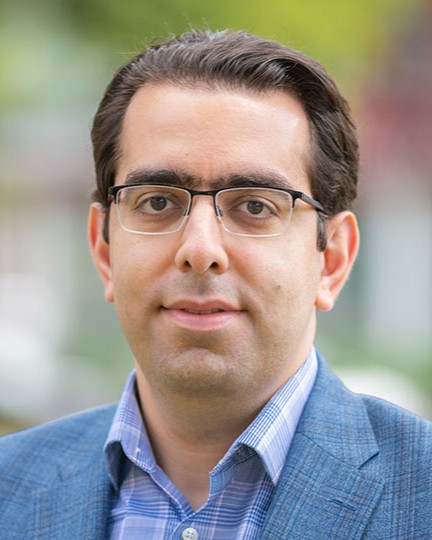
Biography: Hamed Alemohammad is an Associate Professor in the Graduate School of Geography and Director of the Center for Geospatial Analytics at Clark University. He is a technical leader and interdisciplinary scholar with extensive expertise and knowledge in remote sensing, earth science, and artificial intelligence (AI). His research interest lies at the intersection of geospatial analytics/AI and geography to use observations to better understand the changing Earth system. Hamed has been the PI for several projects focused on developing novel AI models for multispectral, microwave and synthetic aperture radar (SAR) satellite observations. In recent years, his research has been focused on development and application of geospatial foundation models. He also serves as a member of the Technical Advisory Committee of Digital Earth Africa. Prior to Clark University, Hamed was the Chief Data Scientist and Executive Director at Radiant Earth where he established and led the development of Radiant MLHub - the open-access repository for geospatial training data and AI models. Hamed received his Ph.D. in Civil and Environmental Engineering from MIT.

Abstract: InSAR is a powerful tool for hazard assessment and engineering, providing precise measurements of ground deformation and structural stability. This tutorial provides both a theoretical introduction and a practical session on performing such analyses using two open-source tools for InSAR time series processing and visualization: SARvey and InSAR Explorer. SARvey is a software package designed to perform InSAR time series analysis, focusing on detecting and monitoring deformation in engineering applications, including dam stability assessment, road and railway monitoring, and urban deformation mapping at the building scale. InSAR Explorer complements SARvey as a QGIS plugin that facilitates the integration of InSAR-derived deformation data into a Geographic Information System. This workshop covers an overview of the workflow, including installation, parameter configuration, and advanced processing techniques, making it an ideal starting point for users new to InSAR as well as for experts seeking enhanced analysis capabilities. The workshop will mainly utilize notebooks hosted in a Google Colab environment. Attendees will learn how to install SARvey, run the workflow, interpret the resulting deformation time series, and use InSAR Explorer in QGIS for data visualization and analysis. To run the processing, the participants require their laptop, a free google colab account (https://colab.research.google.com/) and QGIS (https://qgis.org/download/).
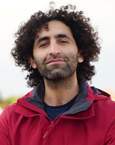
Biography: Mahmud H. Haghighi is a scientist in Remote Sensing with a specialization in SAR and InSAR applications for geohazards and engineering. He earned a Bachelor's degree in Surveying Engineering from Tabriz University and a Master's degree in Remote Sensing from the University of Tehran. He completed his PhD at the GFZ German Research Centre for Geosciences and Leibniz University Hannover, focusing on local- to large-scale InSAR for geohazard analysis. Following his doctoral work, he held postdoctoral positions at GFZ and later at the Institute of Photogrammetry and Geoinformation at Leibniz University Hannover, where he has served as a group leader since 2020. His research centers on geohazard monitoring, infrastructure deformation assessment, and large-scale InSAR deformation mapping of natural and anthropogenic hazards. Recognized as an expert in radar remote sensing, Dr. Haghighi has been invited to lecture at multiple institutions. He is the author or co-author of more than 30 peer-reviewed publications and serves on the scientific committee of the International Geoscience and Remote Sensing Symposium (IGARSS), contributing substantially to advancements in radar-based geohazard research.

Abstract: In this tutorial, I will present different strategies to extract information from texts (from n-grams to transformers approaches) and interface it with remote sensing data. We will study examples relative to visual question answering in remote sensing as new ways to interact with remote sensing images.
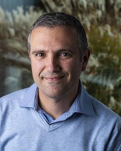
Biography: Devis Tuia completed his PhD at University of Lausanne, Switzerland, where he studied kernel methods for hyperspectral satellite data. He then traveled the world as a postdoc, first at University of València, then at CU Boulder and finally back to EPFL. In 2014, he became assistant professor at University of Zurich, and in 2017 he moved to Wageningen University in the Netherlands, where he was chair of the Geo-Information Science and Remote Sensing Laboratory. Since September 2020, he is back to EPFL, where he leads the Environmental Computational Science and Earth Observation laboratory (ECEO) in Sion. There, he studies the Earth from above with machine learning and computer vision.